Measurement Tool
The Measurement Tool allows you to create lines on the globe and display distance measurements, calculated as accurately as possible based on the terrain.
Accessing the Measurement Tool
Access the Measurement Tool from the toolbar.
![]()
Once selected, you’ll see a small overlay appear that controls how the distance is calculated.
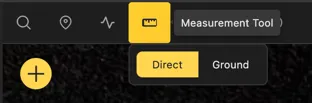
Direct
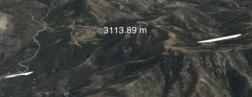
The Direct option calculates the distance as a straight line between two points, ignoring any terrain features.
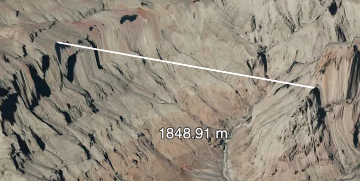
When drawing a direct line over very long distances, the curvature of the earth or local terrain may cause the line to be obscured.
Ground
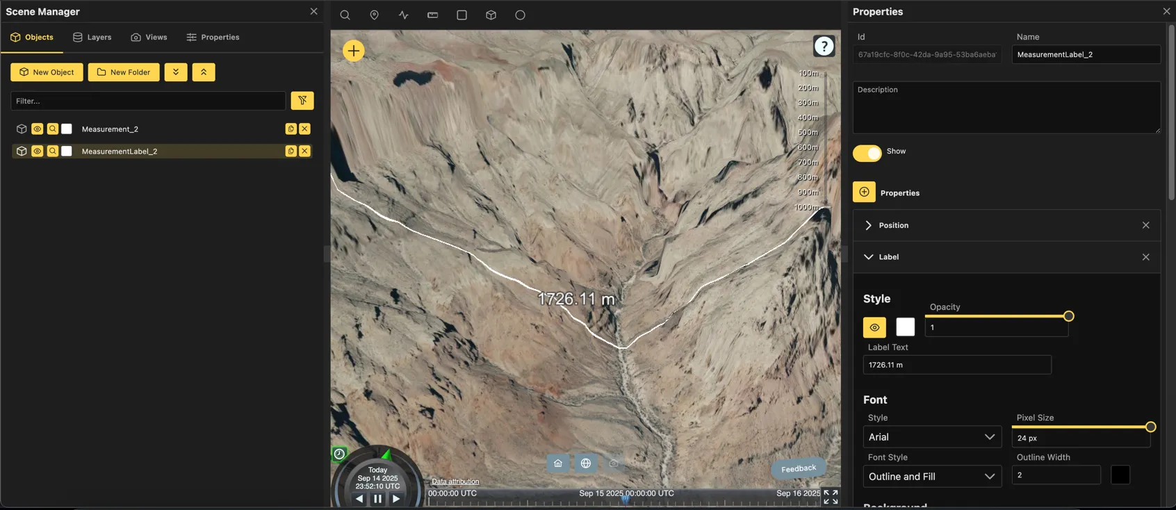
The Ground option calculates the distance by following the terrain, taking into account elevation changes and obstacles.
Be aware that the calculation is not exact and may not account for all terrain features, especially in very rugged areas.
The resulting objects will be laid along the terrain and display the distance as accurately as possible. Extremely large distances may take longer to calculate.
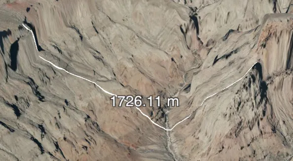
Created Objects
When you create a measurement, a line is created on the globe to represent the distance between the points selected. A separate label is created to display the calculated distance.
PLEASE NOTE
Distance measurements are very crude and may not be accurate. They are intended to give a general idea of distance only and should not be relied upon for precise measurements. Always verify critical measurements with more accurate tools or methods.